The 30 Minute Walk: London – Regent’s Canal Towpath
Route Overview
Distance: 2.5 km (1.55 miles)
Terrain & Surface: Flat, paved and compacted gravel canal towpath. Very level, though occasionally narrow near the bridges.
Start/Finish Point: Start: Kipferl (20 Camden Passage, London N1 8ED) / Finish: Haggerston Overground Station (Lee St, London E8 4DY)
Public Transit Access: Start via the Northern Line at Angel Tube Station. Finish via the London Overground at Haggerston Station.
Amenities: Restrooms at Angel Station and Kipferl; coffee at the start; Towpath Cafe midway; water fountains near the finish.
Step-by-Step Directions
Start at Kipferl. Grab a coffee and admire the antique shops lining Camden Passage, a charming pedestrian alleyway that serves as your first visual anchor.
Turn right (North) on Camden Passage, then turn right onto Charlton Place.
Turn left onto Colebrooke Row and follow it until you reach the Regent’s Canal access ramp on your right, stepping down to the water.
Turn right (East) to join the Regent’s Canal Towpath. You will walk alongside this peaceful blue space for the majority of your route.
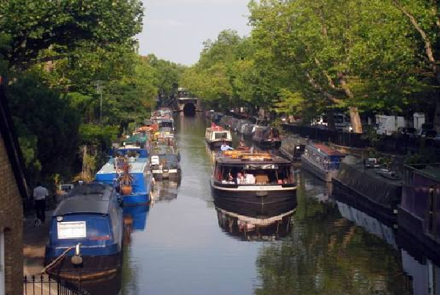
Continue straight along the water, walking under the picturesque brick bridges. You will pass weeping willows, traditional narrowboats, and the lively Towpath Cafe.
When you reach the Kingsland Road Bridge (Bridge 43), take the steps on your left up to street level.
Turn right onto Kingsland Road, then turn left onto Lee Street to arrive at your finish line, Haggerston Station.
Local Highlights & Visual Anchors
Camden Passage: A pedestrianised cobblestone street famous for independent cafes and eclectic antique markets.
Regent’s Canal Narrowboats: Colourful, traditional residential boats moored along the water’s edge, giving a village feel to the heart of the city.
The Kingsland Basin: A slightly wider section of the waterway framed by modern architecture and historic brick warehouses just before you exit the towpath.